About Us:
Our project aims to provide real-time tracking and 3D visualization of geostationary satellites, offering comprehensive data on their orbital paths and activities. The project is built for monitoring and educational purposes, allowing users to explore the fascinating world of geostationary satellites through an interactive web interface.
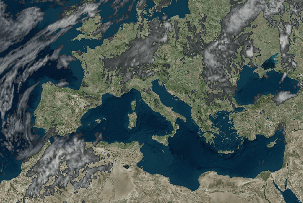
Earth Map
Explore earth model terrainPhoto by: Globe Monitor Satellites
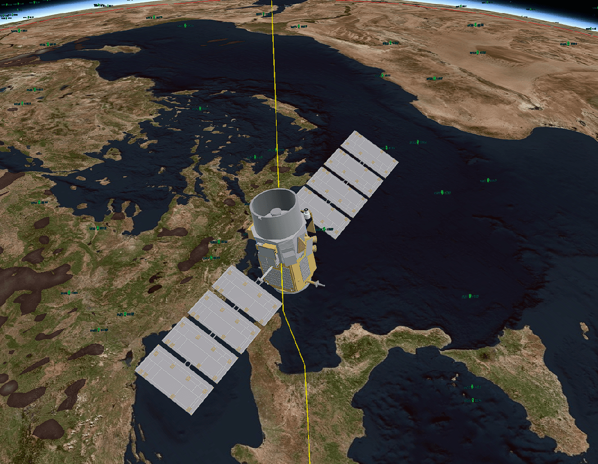
Satellite Tracking
Realtime Satellite tracking viewPhoto by: Globe Monitor Satellites
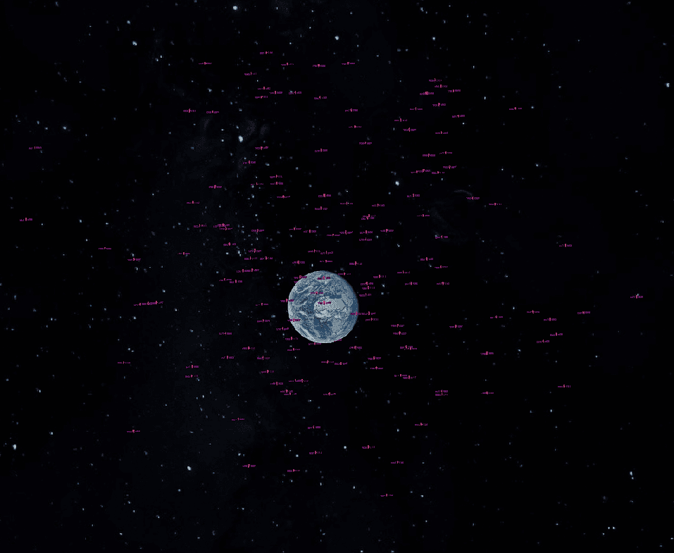
Earth Satellites
Earth Satellites Render OrbitPhoto by: Globe Monitor Satellites
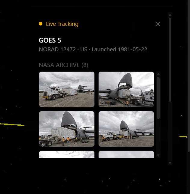
Satellite Details
View Satellite DetailsPhoto by: Globe Monitor Satellites
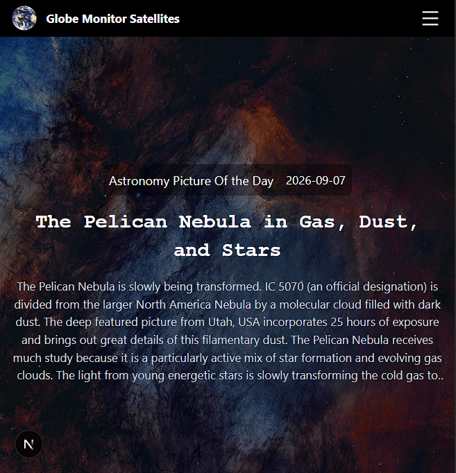
Central Hub
View Our Central Hub for UsersPhoto by: Globe Monitor Satellites
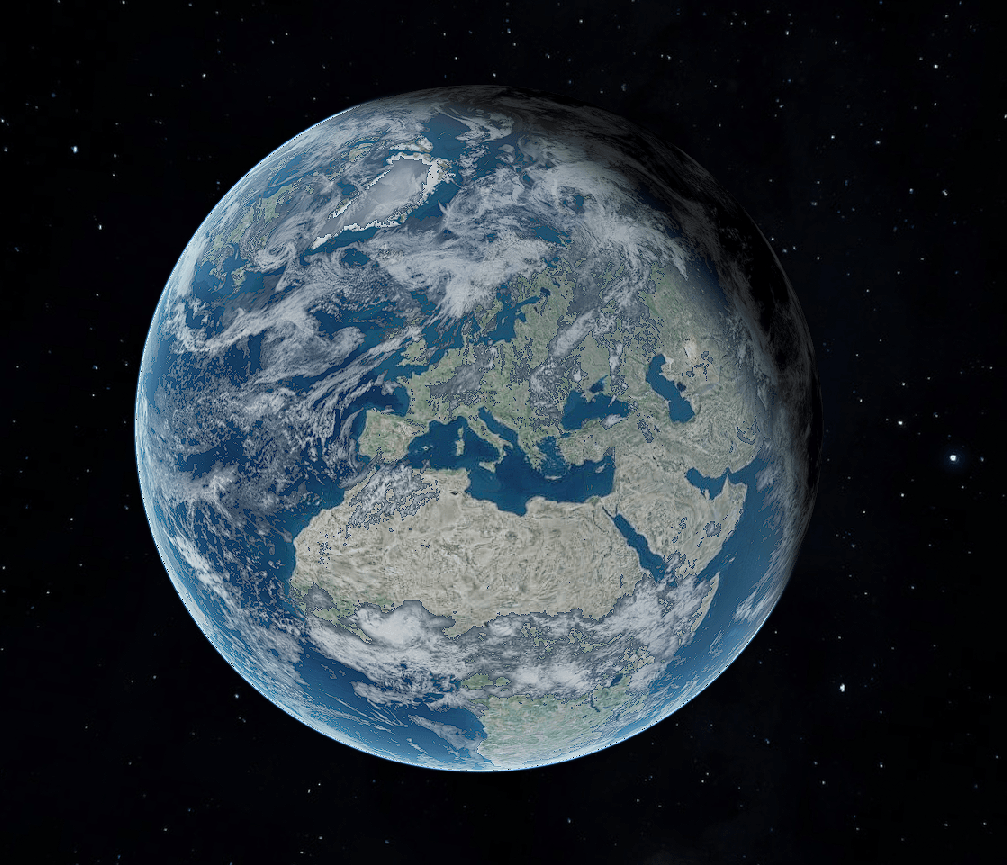
3D Model
To provide a smooth and visually accurate user experience, our rendering system is based on CesiumJS, a high-performance 3D engine for geographic and spatial navigation. Each satellite and object in orbit is represented using dynamic 3D models and collections of optimized primitives. The architecture calculates orbital positions in real time using SGP4 algorithms and interpolates them at a very high frequency, ensuring smooth animation at up to 60 FPS without overloading the client’s GPU.
 Cesium JS
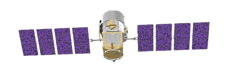
Our Mission
Our mission is to make satellite data accessible and engaging for everyone. Whether you're a space enthusiast, a student, or a professional in the field, Globe Monitor Satellites provides the tools and information you need to explore the fascinating world of geostationary satellites.
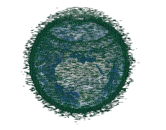
Our Data:
We use Space-Track API to get TLE data on Earth satellites and ISS tracking, including their positions, velocities, and orbital parameters. This data is processed and visualized in our web application elaborate by a web worker, allowing users to track satellites in real-time and explore their orbital paths through an interactive 3D model of the Earth with Cesium Library Model.
NASA Image
The visual elements throughout the interface (including section backgrounds and profile images for each selected satellite) are retrieved directly via NASA Open APIs. When you select a satellite on the map, the application queries these archives to display authentic photography or mission renders corresponding to that specific spacecraft. This provides immediate visual context alongside the technical telemetry. Additionally, the atmospheric backgrounds throughout the site are drawn from high-resolution Earth observation archives. All NASA photographic material is in the public domain and is used strictly for educational and informational purposes to make orbital tracking more engaging. These static assets serve an illustrative role and are completely independent of the real-time 3D map rendering engine.
 NASA Api
Support Us
If you like the project and want to help cover infrastructure costs and support the development of new features, you can support it below
